
C-PARLA
Mapping The Heritage with Addresses, direcTories, places and WAYpoints
Scientific responsibility :
- Bertrand Duménieu
- Carmen Brando
- Mattia Bunel
- Julie Gravier
- Olivier Canteaut
- Florence Clavaud
- Aurélia Rostaing
- Louis Pourre
- Nathalie Abadie
- Julien Perret
- Néguine Mathieux
- Leny Roinné
Methodological axes :
Thematic fields :
Disciplinary sectors :
Funding :
- DIM PAMIR
- EHESS
Project ID : IDF-DIM-PAMIR-2026-7-001
Summary :
The THATWAY (C-PARLA) project aims to build a geohistorical reference resource for addresses in Paris and its surrounding region, covering a period from the 17th to the 21st century. It is based on two complementary digital resources: a data graph of geolocated addresses and their transformations over time; and a historical geocoding tool enabling automated queries of this graph. This reference resource addresses a major scientific challenge: the difficulty of automatically locating historical addresses, which may have disappeared or be based on visual landmarks, and are therefore often absent from the datasets used by modern geocoders. Yet this operation is essential for fields such as preventive archaeology, the spatial indexing of cultural and heritage catalogues, spatial analysis in the social sciences, as well as heritage promotion and mediation. At present, however, it remains largely manual, costly, and difficult to reproduce. At a time when heritage and cultural institutions, as well as digital humanities research projects, are producing increasing volumes of data and metadata linked to historical addresses, this limitation significantly hinders their quantitative and spatial use. The THATWAY data graph will integrate more than 25 million entities representing addresses, places, visual landmarks, and businesses across Paris and the Île-de-France region, drawn from both historical and contemporary sources and published by various organizations under open licenses. The geocoding tool developed will enable efficient querying of this vast dataset to retrieve the coordinates of historical addresses, businesses, locations, and landmarks, and to infer those of nearby places. It will be tested on several heritage datasets in order to anchor this reference system within the practices of the social sciences and heritage fields.
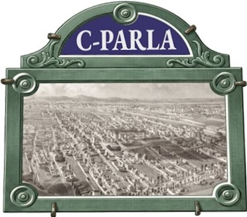
Legend : The Paris area as seen from a bird’s-eye view / Levallois and Champerret. / A panoramic view taken from above the city walls of Paris. / Clichy-la-Garenne, Asnières, Villiers and the Coteaux d’Argenteuil form the middle and background. Devicque, Julien-Hippolyte, 1860.
